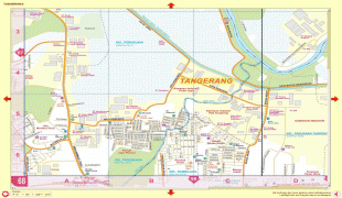
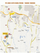
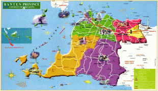
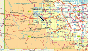
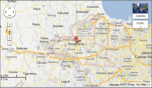
Tangerang
 |
Tangerang, along with the neighbouring South Tangerang, is where many large-scale developers have created built-up areas such as BSD City, Gading Serpong, Alam Sutera, and Lippo Village, and now becoming the area's center of economy, business, commerce, and education.
Tangerang is also home for Soekarno–Hatta International Airport which serves the Jakarta metropolitan area and is Indonesia's main gateway. The city is an industrial and manufacturing hub on Java and is home to over 1,000 factories. Many international corporations have plants in the city. Tangerang tends to be hot and humid, with little in the way of trees or geographical features. Certain areas consist of swamps, including the areas near the Soekarno–Hatta International Airport. It's also home to Indonesia Convention Exhibition (ICE) BSD City, Indonesia's largest convention and exhibition center located in BSD City.
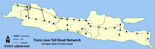
In recent years the urban expansion of Jakarta has covered Tangerang. As the result, many of its residents commute to Jakarta for work or vice versa. Many high-class and middle-class satellite cities have been developed in Tangerang, complete with their own shopping malls, private schools and convenience centers. The government is working on expanding the toll road system to accommodate more traffic flow to and from the area.
Tangerang is the corporations' alternative to move or build their offices from Jakarta due to the heavy traffic and crowds, such as Unilever Indonesia, Kino Group, and Alfa Group.
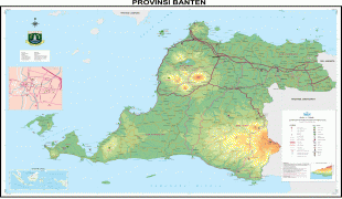
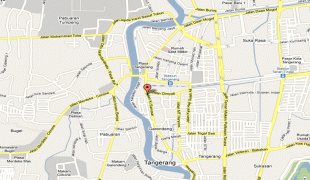
Map - Tangerang
Map


Country - Indonesia
 |
 |
| Flag of Indonesia | |
As the world's third largest democracy, Indonesia is a presidential republic with an elected legislature. It has 38 provinces, of which nine have special status. The country's capital, Jakarta, is the world's second-most populous urban area. Indonesia shares land borders with Papua New Guinea, East Timor, and the eastern part of Malaysia, as well as maritime borders with Singapore, Vietnam, Thailand, the Philippines, Australia, Palau, and India. Despite its large population and densely populated regions, Indonesia has vast areas of wilderness that support one of the world's highest level of biodiversity.
Currency / Language
| ISO | Currency | Symbol | Significant figures |
|---|---|---|---|
| IDR | Indonesian rupiah | Rp | 2 |
| ISO | Language |
|---|---|
| NL | Dutch language |
| EN | English language |
| ID | Indonesian language |
| JV | Javanese language |